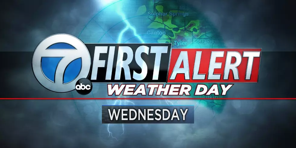
East Texas Could See Severe Weather Wednesday
The potential for severe weather and some strong storms will be moving back into East Texas Wednesday. It seems pretty routine now, we get a couple of days of sunshine followed by three to four days of rain followed by more sun then more rain. That's springtime in East Texas, however, we could do without the severe part, but it looks as if severe weather could be an issue for us on Wednesday.
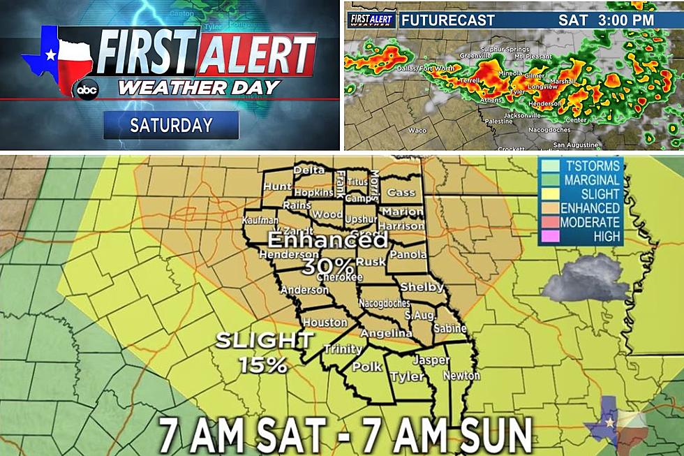
The Storm Prediction Center says there's a 30% - 45% chance that strong to severe storms will develop across East Texas Wednesday afternoon. This 'Enhanced Risk' for storms could be in the form of tornadoes, high wind, large hail and flash flooding.
KLTV 7 Chief Meteorologist Mark Scirto says that 60 mph plus winds will be possible as these storms move through and can produce hail in excess of 1" in diameter. Once this storm system moves through, we will not be done with the rain, Thursday morning looks to have more storms along with a 50 / 50 shot of showers and storms into the first part of the weekend.
We will all want to be weather aware throughout the day on Wednesday and in the event of severe weather that produces a tornado, we will keep you up to date with severe weather coverage from the First Alert Weather Center of KLTV 7.
More From 107-3 KISS-FM


![[PHOTOS] Last Night’s Storm in Frankston, TX Left Much Destruction; Two People Have Died](http://townsquare.media/site/156/files/2023/05/attachment-frankston.jpg?w=980&q=75)